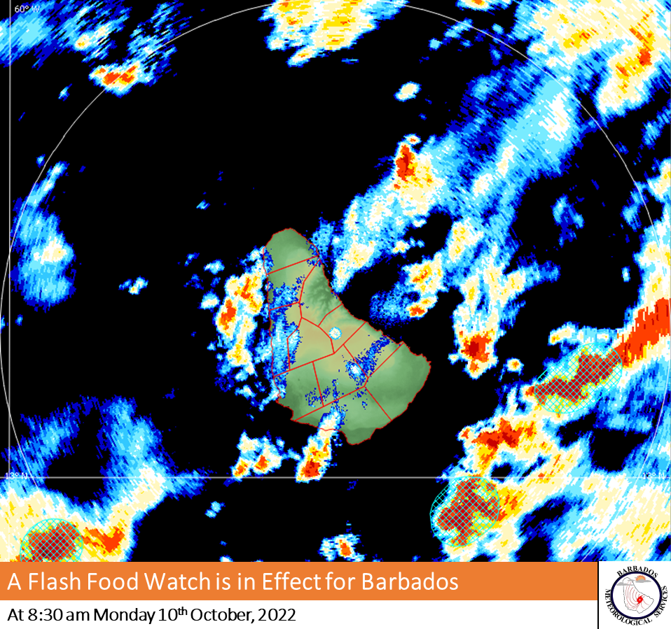
This alert from the Barbados Meteorological Services is valid from 8:30 a.m. Monday, October, 10 and will be updated or terminated at 12:00 noon today, or sooner if conditions warrant.
A flash-flood watch is issued when heavy or excessive rainfall in a short period of time (generally less than 6 hours) could result in flash flooding within the watch area. It does not mean that flooding will occur, but it is possible.
Hazard Info:
A favourable mid to upper-level environment has been enhancing convection around the island. As a result, maximum rainfall accumulations of 20.0 to 40.0 mm in moderate to heavy showers are possible throughout the morning.
Key Messages:
Residents and visitors should be prepared for the following possibilities:-
-Significant runoff from higher elevations.
-Significant soil erosion is likely on exposed or scarred land surfaces.
-Large water settlements on roads and fields.
-Significant adjustments to water levels of existing water bodies (ponds etc.).
-Significant delays on traffic routes with some roads possibly becoming impassable.
-Large objects or debris from higher elevations becoming embedded within fast moving water flows. -Significant flooding at the foot of hillsides and coastal roads.


More Stories
Barbados to know status of new Constitution next year
Sir Henry Forde laid to rest
Barbadians to benefit from Ministerial Declaration adopted at forum