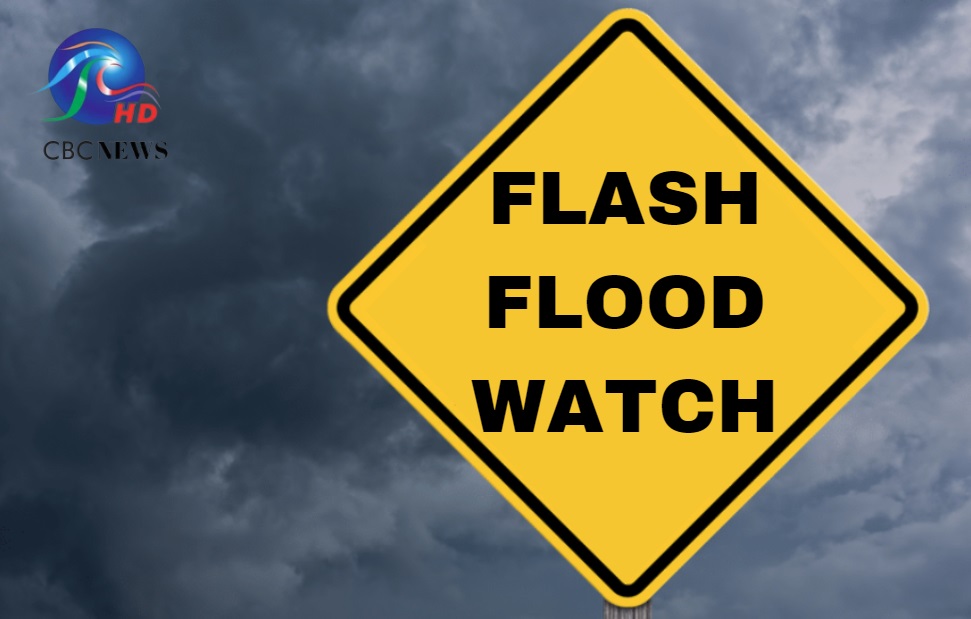
Unstable conditions will persist as feeder bands associated with Tropical Storm Ernesto impact the island.
Over the last 12 hours, rainfall accumulations between 1 and 2 inches were observed across the island. As feeder bands associated with Tropical Storm Ernesto impact the island today, heavy to intense showers and thunderstorm activity will remain likely and a further 1 to 2 inches are possible across the island. As a result, the Flash-Flood Watch has been extended.
The following moderate to significant impacts are possible:
-Soil erosion on bared or scarred land surfaces.
Water settlements on roads and fields which may lead to commuting delays and possible isolated diversions
-Increases in water levels of existing water bodies (e.g ponds etc.)
-Marginally invasive excess water on roads, fields, storm drains/water canals, and on property
-Residents and visitors should also be aware that this alert level could elevate to red.
The public is encouraged to monitor the BMS, DEM and GIS websites and their respective social media pages along with the local media networks for further updates.
A Flash-Flood Watch is issued when heavy or excessive rainfall in a short period of time (generally less than 6 hours) could result in flooding within the Watch area. It does not mean that flooding will occur, but it is possible.
This Flash Flood Watch is valid from 6:00 am today, Tuesday, August 13 2024 and will be updated/terminated at 12:00 noon or sooner if conditions warrant.


More Stories
Scholarship and Exhibition winners speak about their achievements
Barbados under Severe Thunderstorm Watch
Flash-Flood Watch issued